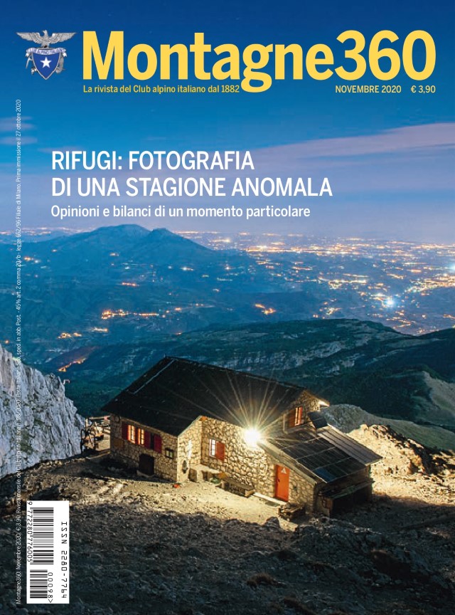
The Club Alpino Italiano (the “CAI”) is the senior Italian alpine club which stages climbing competitions, operates alpine huts, marks and maintains paths, and is active in protecting the Alpine environment. Its 300,000+ members receive a good quality monthly magazine (Montagne360), receive discounts at many rifugios, and are protected by an insurance policy which covers any costs if one has to be rescued. (For comparison the Ramblers in the UK have 100,000+ members).
Within the Lunigiana there are five CAI Sections as follows:
- Pontremoli
- Filattiera (sub-section of Pontremoli)
- Bagnone (sub-section of Pontremoli)
- Fivizzano
- Sarzana
- Massa
- Carrara
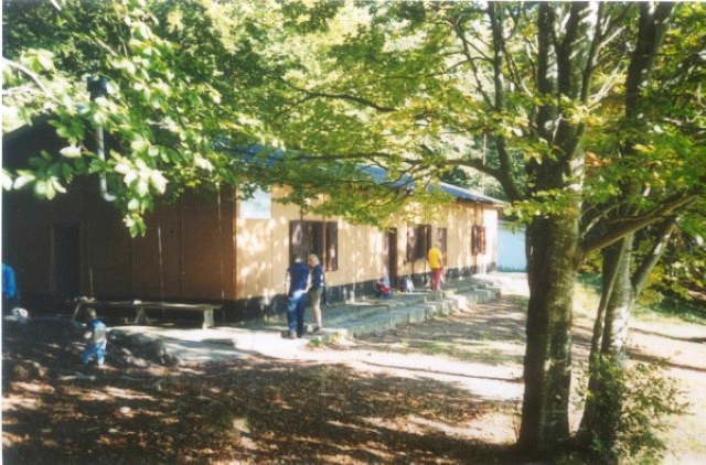
The CAI are famed for their warm and friendly social events, often put on in their rifugios/baitas and featuring excellent home made food and local wine.
Subscription costs for 2025 are:
- Ordinary member (born 1994 or earlier): 58 euro
- Ordinary reduced rate member (born beteeen 1995 and 1999): 48 euro
- Young member (born between 2000 and 2007): 30 euro
- Additional family member (living at same address): 30 euro
- Additional fee for new members (or for members who failed to renew the previous year): 5 euro
Standard of difficulty of CAI signed routes (able bodied persons)
Determining the degree of difficulty of a route, in accordance with objective criteria, is impossible, since our perceptions are based on our own experiences, limits, feelings and psychological reactions. With these variables in mind, Club Alpino Italiano has developed a trail rating system to indicate the relative difficulty of hiking routes. This scale takes into account three fundamental objective parameters: vertical drop, planimetric distance and trail markings.
T = Turistico (Tourist – easiest)
T routes take in roads, mule tracks and easy trails. They are generally fairly short in distance and well marked. The elevation gain is less than 500m (approx. 1600 ft). These routes do not require hiking experience or physical training.
E = Escursionistico (Hiker – intermediate)
E routes almost always comprise footpaths or unpaved trails and may include sections of varied terrain (meadows, dirt, rocks, scree) and are usually indicated with trail markers. To safely enjoy E rated trails one should have a good sense of orientation, as well as some hiking experience and knowledge of mountainous territory. E rated trails require appropriate footwear, clothing and equipment. The elevation gain generally ranges from 500m to 1000m (approx. 1600 to 3300 ft).
EE = Escursionisti Esperti (Expert hikers)
EE routes are not always marked and require a strong ability to move about in various types of mountain terrain. These routes can be trails or more subtle paths that cross over difficult and steep terrain. Slippery scree and small sections of snow and ice, which can be crossed with the use of mountaineering equipment, may be encountered. EE trails are for experienced hikers with sure footing, in strong physical condition and with a good sense of direction. Venturing out on an EE trail requires proper footwear, clothing and equipment. The elevation gain is usually more than 1000m ( approx. 3300 ft).
EEA = Escursionisti Esperti con Attrezzatura alpinistica (Expert hikers with climbing equipment)
These routes require the use of climbing equipment (ropes, harness, helmet, etc.). EEA routes can include traditional climbing routes, vie ferrate or trails with cables and ladders. Hikers exploring EEA routes need to have alpine terrain experience. They must also understand how to use technical climbing equipment safely and be comfortable with exposure.
EEAG = Escursionisti Esperti Attrezzati Ghiaccio (Expert Hikers with glacier climbing equipment)
The EEAG rating is similar to EEA, but includes the ability to use glacier equipment safely (crampons, ice axe, ropes, etc.).
Classification of mountain routes accessible using mobility aids
AT = Accessible to Tourists
Paths on cart tracks, dirt roads and grass tracks. They are characterized by modest slopes (<8%), widths > 1.5m, limited height differences (<150m), and lengths <3km. They have a generally continuous and level base, without artificial or natural steps, without exposed points or tight curves that can make manoeuvres difficult.
NOTE: Although it is possible to overcome small slopes (less than 4 to 5%) autonomously with a self-propelled wheelchair, for safety reasons it is never advisable to attempt mountain routes alone.
AE = Accessible Hikers
Routes on obvious paths and paved mule tracks. They are characterized by moderate slopes (<16%), widths of between 1 and 1.5m, height differences <300m, lengths from 3 to 6km, uneven ground, few and / or modest artificial or natural steps that can be easily overcome by an off-road aid, absence of relevant obstacles, absence of exposed points and / or tight curves that can make manoeuvres difficult.
NOTE: Regardless of the length of the route, it is necessary to keep in mind the time necessary to complete the excursion taking into account any discomfort likely to be felt by the disabled person as a result of prolonged sitting on, or use of, a mobility aid.
AEE = Accessible Expert Hikers
Routes on mule tracks and identifiable paths on mixed terrain. These are characterized by some stretches with some slopes > 16%, widths <1m, height differences >300m, lengths > 6km, sometimes uneven ground and pinch points, natural or artificial steps > 10cm high, significant obstacles, exposed points and / or tight curves.
NOTE: The presence of at least one of these characteristics makes the route classifiable as AEE, as it requires skill, technique, experience and able bodied helpers to overcome the difficulties indicated. Regardless of the length of the route, it is necessary to keep in mind the time necessary to complete the excursion taking into account any discomfort likely to be felt by the disabled person as a result of prolonged sitting on, or use of, a mobility aid.
