Grande Escursione Appenninica (GEA)
The Great Apennine Excursion (GEA) is a 425 km long hiking route that runs along the entire Tuscany-Emilia Romagna border and is now divided into 28 stages. It was conceived in 1981 by two trekking experts (Gianfranco Bracci and Alfonso Bietolini) and is an integral part of both the Sentiero Italia (SI) and the European E1 long distance path. Its creation was due to support from the Tuscan regional government, various mountain communities, and the Club Alpino Italiano (CAI). It was officially inaugurated by Bracci and Bietolini, with the participation of Reinhold Messner, in June 1983.
The route follows footpaths that run along the ridge that connects the Bocca Trabaria pass, on the border with Umbria and le Marche, with the Passo dei Due Santi, in Liguria.
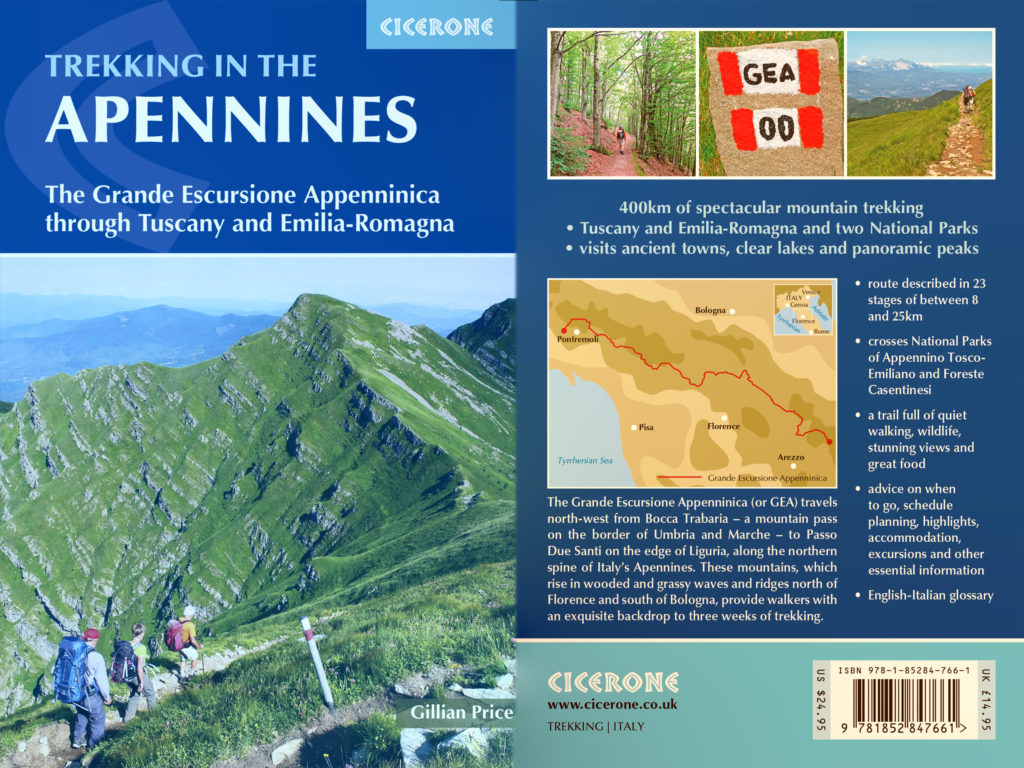
The only English language guidebook of which I am aware is the Gillian Price tome, covers of which are displayed above (click on the image to access Cicerone’s website where copies may be purchased).
Accommodation and water are scarce so frequent diversions into the valleys are required. (At the end of an October day at the Cisa Pass we once came across two very tired and weary GEA walkers who were enquiring when the next bus to Pontremoli was due to depart, our answer being the following March! We gave them a lift and a bed for the night, but goodness knows what they would have done otherwise).
Generally speaking, those who have trekked from the Bocca Trabaria pass to Abetone have commented on the monotony of the route, traversing as it does large tranches of uninspiring deciduous woodland. From Abetone to the end things get better and on a good day the views North to the Po valley and South to the Med are spectacular.
Short Route
One of the problems of the full GEA walk is the remote location of its beginning and end, made worse by the lack of public transport. There is a shorter version (pioneered by Outdooractive) which is 240km long – a distance that it is claimed can be covered in one week(!).
The Outdooractive route starts at Borgo Val di Taro railway station and ends at the station of Crespino del Lamone. A copy of the GPX file may be downloaded here.