A comprehensive selection of local reference maps at 1:25000 scale together with GPS data which cover the main CAI (Club Alpino Italiano) waymarked paths is available from local bookshops and via the internet. Also worth consulting is the Waymarked Trails web site on which the main CAI-marked paths are indicated.
Electronic Maps
Good mapping apps for smartphones can readily be found on the Google Play Store or the Apple App Store – we like Organic Maps in particular, though Sentieri dell’Appennino is worth having in reserve. Be advised, however, that walkers attempting the more ambitious routes should pack a dedicated GPS unit loaded with local maps sourced from Openstreetmap or elsewhere. Smartphone based mapping apps work well in open country but are useless in woods and ravines, especially when it’s raining.
We have had painfully expensive experiences trying to download maps directly onto our GPS (ie the download and installation process has caused irrecoverable system errors within the GPS, rendering it useless). You would therefore be well advised to buy a local map pre-loaded onto an SD card which can then be slotted directly into the GPS. A supplier we use and trust is Talkytoaster, though the web site is confusing and the maps are not free (prices start at around £12 for a one-off download). A useful alternative is Freizeitkarte, which has the benefit of being free, and the maps can be optimised for specific GPS devices.
Printed Maps & Guides
The maps available for the Lunigiana are of variable quality – many of the older ones are based on military surveys undertaken by the Istituto Geografico Militare (IGM) which is a division of the Italian army. The main publishers are Edizioni Multigraphic, Istituto Geografico Centrale, S.E.L.C.A., Kompass & 4Land. Examples include:
- Kompass Carta Escursionistica Wanderkarte No: 644 Cinque Terre 1:50,000
- Kompass Carta Escursionistica Wanderkarte No: 646 Alpi Apuane-Garfagnana 1:50,000
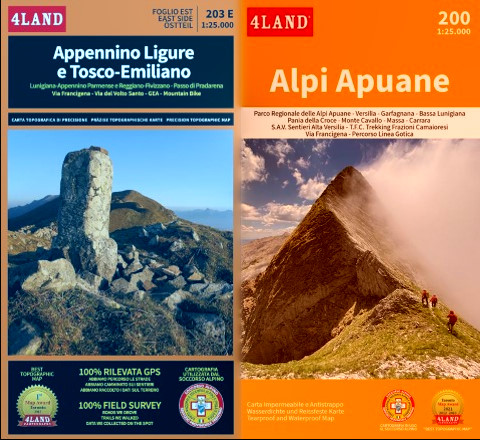
- 4Land Appennino Ligure e Tosco-Emiliano East Side 1:25,000 No: 203E. (Printed on waterproof film).
- Ditto West Side 203W.
- 4Land Alpi Apuane 1:25,000 No: 200. (Printed on waterproof film).
- Parco Nazionale Appennino Tosco-Emiliano Carta Escursionistica 1:25,000 Trekking Map West Side.
- Ditto East Side.
Of these the 4Land and Kompass maps are probably the most accurate. They can be bought online or at bookshops such as L’Abbecedario Di Daniele Maraffetti E C. Sas, Piazza della Repubblica, 35, 54027 Pontremoli MS (close to the Municipio/Information Office).
The key printed guidebooks for the region are:
- Rother Walking Guide: Tuscany North, Wolfgang Heitzmann & Renate Gabriel, translated from the German by Gill Round 2001 £8.99 (For example of the content – ascent of Monte Marmagna from Lagdei – see here). Much out of date, but not without its uses.
- Trekking in the Apennines: The Grande Escursione Appenninica, Gillian Price, 2nd Ed 2016, Cicerone £13.46. Sketch maps not very helpful.
- Guida dei Monti D’Italia: Appennino Ligure e Tosco-Emiliano, M Salvo & D Canossini CAI/TCI 2003 36.5eu (in Italian – the definitive work). Out of date, but no other guidebook is as comprehensive.
Note of Caution: Contours/Elevation Data
Elevation data and associated contours displayed on Italian printed walking maps are all obtained from RADARs installed on satellites located at high altitude (600km not being uncommon). In consequence, the resolution is insufficient to define deep gulleys and sharp ridges with any accuracy; smoothing algorithms have been used to interpret the spot heights which constitute the satellite data stream, and the result is that the unwary walker can easily be caught out. (In contrast to Italian map makers, the UK’s Ordnance Survey use low flying aircraft to produce the DTM – Digital Terrain Model – on which their printed maps are based).