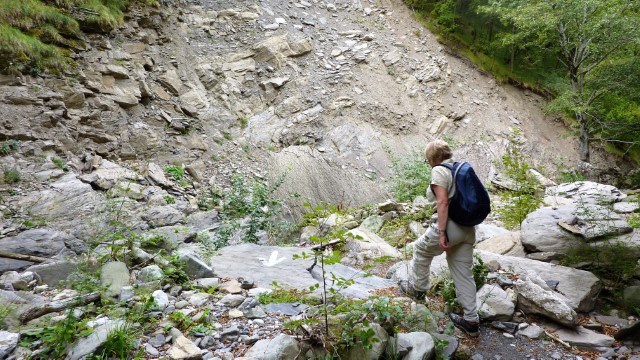
The High Lunigiana is a wonderful place for the keen mountain walker. The Apennine Ridge stretches for 1000km from the French border to the Adriatic and provides endless opportunity for exploration and enjoyment. Summer conditions are generally benign but in winter the combination of snow/ice and ever changing weather will keep even the most experienced on their toes.
Poor rock quality limits opportunities for keen climbers to exercise their craft, but there is plenty of challenging scrambling to enjoy. Via Ferrata can also be found, but the longest and most exhilarating are located in the Alpi Apuane.
Footpaths are waymarked by the Club Alpino Italiano (“CAI”) and in their simplest form consist of painted red & white bands applied to walls, rocks or trees. From time to time you will also see faded green and yellow markings – these were once used indicate the Trekking Lunigiana stages but are not now maintained.
A useful drawing (albeit with explanatory text in Italian) which describes in detail the various signs you will encounter as you make your way along recognised routes may be found here.
Many of the popular routes involve substantial ascents/descents and in consequence it’s easy to underestimate the time required to complete one’s journey. A helpful chart which links height to be ascended/descended, distance to be travelled and walking time may be found here.
Maps & Guides
A comprehensive selection of local reference maps at 1:25000 scale together with GPS data which cover the main CAI (Club Alpino Italiano) waymarked paths is available from local bookshops and via the internet. Also worth consulting is the Waymarked Trails web site on which the main CAI-marked paths are indicated. Note that elevation data are all obtained via satellites (600km altitude not uncommon) and have insufficient resolution to define deep gulleys and sharp ridges with any accuracy – smoothing algorithms have been used to interpret the spot heights which constitute the satellite data stream and the result is often that the unwary walker is caught out. (In contrast to the Italian map makers, Ordnance Survey use low flying aircraft to produce their DTM – Digital Terrain Model).
Bruno Romiti operates an excellent web site which details (in Italian) a wide range of walks within the Lunigiana. Be advised, however, that some of the routes are very challenging and use poorly waymarked paths.
Good mapping apps for smartphones can readily be found on the Google Play Store or the Apple App Store – we like MAPS.ME in particular, though Sentieri dell’Appennino is worth having in reserve. Be advised, however, that walkers attempting the more ambitious routes should pack a dedicated GPS unit loaded with local maps sourced from Openstreetmap or elsewhere. Smartphone based mapping apps work well in open country but are useless in woods and ravines, especially when it’s raining.
We have had painfully expensive experiences trying to download maps directly onto our GPS (ie the download and installation process has caused irrecoverable system errors within the GPS, rendering it useless). You would therefore be well advised to buy a local map pre-loaded onto an SD card which can then be slotted directly into the GPS. A supplier we use and trust is Talkytoaster, though the web site is confusing and the maps are not free (prices start at around £12 for a one-off download). A useful alternative is Freizeitkarte, which has the benefit of being free, and the maps can be optimised for specific GPS devices.
The key printed guidebooks for the region are:
- Rother Walking Guide: Tuscany North, Wolfgang Heitzmann & Renate Gabriel, translated from the German by Gill Round 2001 £8.99 (For example of the content – ascent of Monte Marmagna from Lagdei – see here).
- Trekking in the Apennines: The Grande Escursione Appenninica, Gillian Price, 2nd Ed 2016, Cicerone £13.46
- Guida dei Monti D’Italia: Appennino Ligure e Tosco-Emiliano, M Salvo & D Canossini CAI/TCI 2003 36.5eu (in Italian – the definitive work)
Upland access, right to roam, flora & fauna …..
No one will mind if you wander around the countryside outside the confines of the village – keep to paths if you can, but don’t feel too inhibited about going off-track. Generally the rule is that you can go anywhere that is uncultivated and unfenced provided that you don’t cause damage, light fires or leave litter.
Strictly speaking, the collection of flora – especially mushrooms – requires a licence from the Comune (town hall) unless one is permanently resident in the village. No one complains, however, when we collect chestnuts and hazelnuts without a licence. (The villagers’ main concern is that people who come from out of area would, unless regulated, strip the woods of all edible flora).