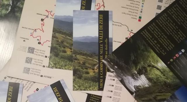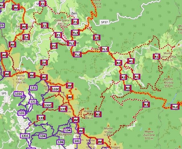
The comune of Zeri has published a brochure detailing a variety of trails located within its boundaries. There are four walks in Zeri itself and three in the Rossano valley. All are waymarked, and they vary in length between 4 and 19km. Three are classified as easy and four are classified as being of medium difficulty. Significantly, all are circular so an additional means of transport to get one back to the start point is not necessary.
You may download a ZIP archive containing a KML file for each trail by clicking here. Such files may be most conveniently viewed by loading them into Google Earth or Garmin BaseCamp. Alternatively one can view the walks (designated Z1 to Z4 and R1 to R3) on WaymarkedTrails using a web browser.
